No edit summary |
|||
| (12 intermediate revisions by 2 users not shown) | |||
| Line 1: | Line 1: | ||
| − | |||
| − | |||
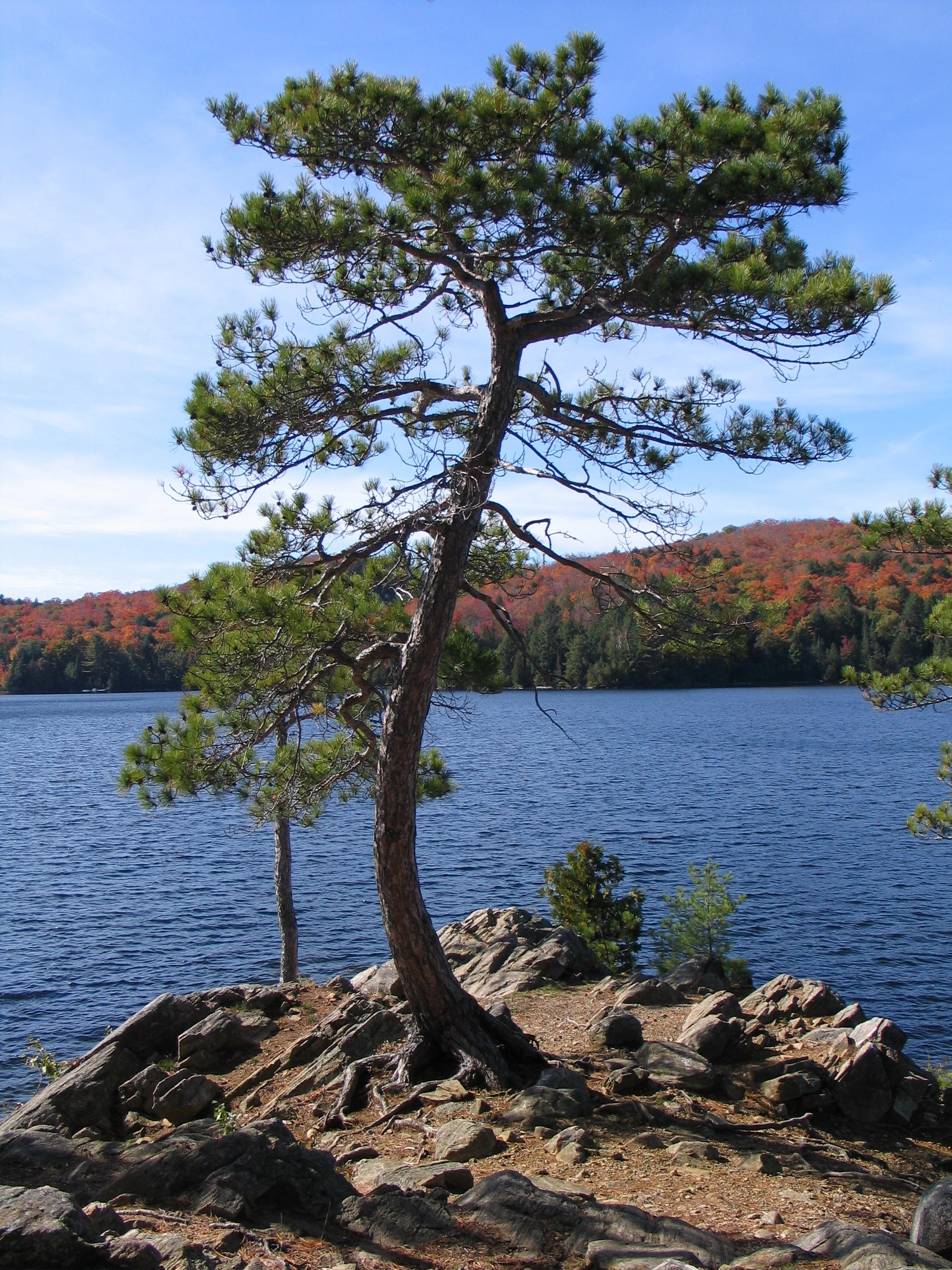
[[File:IMG_2697.jpg|thumb|200px|Tree on Mollie's Island on Smoke Lake]] |
[[File:IMG_2697.jpg|thumb|200px|Tree on Mollie's Island on Smoke Lake]] |
||
===Welcome to Algonquin Park Wiki=== |
===Welcome to Algonquin Park Wiki=== |
||
| Line 8: | Line 6: | ||
Please share your ratings of and tips on campsites, canoe routes, portages, hiking trails and places of note. Share your favourite places with others! |
Please share your ratings of and tips on campsites, canoe routes, portages, hiking trails and places of note. Share your favourite places with others! |
||
| − | This Wiki is provided with links to Google Earth which, if you have |
+ | This Wiki is provided with links to Google Earth which, if you have it loaded on your computer, will take you to that particular point of interest on Google Earth, where you can do more exploring and sometimes look at photos posted on Panaramio. |
==[[Getting Oriented]]== |
==[[Getting Oriented]]== |
||
| + | [[File:Algonquin_regional.jpg|thumb|400px|courtesy algonquinmap.com]] |
||
| ⚫ | |||
| ⚫ | Highway 60 (running mostly east-west through the west side of the Park) is an obvious choice for a dividing line between the areas north and south of the highway. The central part of the Park is dominated by Lake Opeongo. Then there's the part east of Lake Opeongo that includes Achray/Grand Lake and the Barron Canyon. |
||
| ⚫ | |||
| + | |||
| + | The Algonquin Park map shown here (courtesy of [http://www.AlgonquinMap.com AlgonquinMap.com] ) is likewise divided into four major areas: |
||
| + | *Northwest, Southwest, Central and East |
||
| ⚫ | |||
| + | So we'll do likewise: Wiki pages relating to Lakes, Campsites and Points of Interest can be accessed by clicking on the links in the next section below. |
||
| + | ==[[Lakes & Campsites|Lakes, Campsites & Points of Interest]]== |
||
| − | These same parts of the Park are reflected in the divisions made by Algonquin Park mapmaker Jeffrey McMurtrie as shown in his Park map, below. So we'll do likewise here. Lakes and Campsites will be organized into one or more of these Park areas: Northwest, Southwest, Central and East.[[File:Algonquin_regional.jpg|thumb|400px|courtesy algonquinmap.com]] |
||
| + | *[[Northwest]] |
||
| + | *[[Southwest]] |
||
| + | *[[Central]] and |
||
| + | *[[East]] |
||
| − | ==[[Lakes & Campsites]]== |
||
==Latest activity== |
==Latest activity== |
||
Latest revision as of 15:10, 1 August 2011
Tree on Mollie's Island on Smoke Lake
Welcome to Algonquin Park Wiki[]
Algonquin Park is a beautiful place for backwoods canoeing, camping and hiking north of Toronto, Canada.
Please share your ratings of and tips on campsites, canoe routes, portages, hiking trails and places of note. Share your favourite places with others!
This Wiki is provided with links to Google Earth which, if you have it loaded on your computer, will take you to that particular point of interest on Google Earth, where you can do more exploring and sometimes look at photos posted on Panaramio.
Getting Oriented[]

courtesy algonquinmap.com
In order for you to navigate this Wiki, you'll have to know (a little bit) about Algonquin Park itself.
Highway 60 (running mostly east-west through the west side of the Park) is an obvious choice for a dividing line between the areas north and south of the highway. The central part of the Park is dominated by Lake Opeongo. Then there's the part east of Lake Opeongo that includes Achray/Grand Lake and the Barron Canyon.
The Algonquin Park map shown here (courtesy of AlgonquinMap.com ) is likewise divided into four major areas:
- Northwest, Southwest, Central and East
So we'll do likewise: Wiki pages relating to Lakes, Campsites and Points of Interest can be accessed by clicking on the links in the next section below.
Lakes, Campsites & Points of Interest[]
- Central and